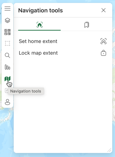
Take control of geography in ArcGIS for MS365
Interactive digital maps have made data visualization far more robust and engaging for users. Yet many aspects of professional card design that are taken for granted on the paper medium are still missing from most web-based designs. One such function is: tmapmakers’ ability to control a map’s geography. Good news! ArcGIS for Microsoft 365 now … Read more
